PROJECT DETAILS
- Project No 1134
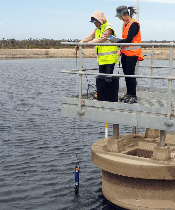
- Project Name Satellite remote sensing for water management - A review of trends, capabilities, and applications for water utilities and authorities
- Lead Organisation Icon Water
- Research Lead CSIRO
- Main Researcher Tim Malthus
- Completion Year 2024
Project Description
Satellite earth observation technologies have developed rapidly, with strong potential emerging for satellite remote sensing to offer new insights and opportunities to water utilities and agencies.
This research provides a state-of-the-art summary of recent trends and the up-to-date literature in satellite remote sensing, along with evaluation of existing capabilities and currently available tools, and the impact they have on the functions of Australian water utilities.
The research focused on selected application areas where remote sensing impacts water quantity and quality across a range of scales from catchments to individual water bodies. Application areas evaluated included: catchment monitoring, water demand estimation methods, flood monitoring and mapping, water quality monitoring, farm dam monitoring, trends in urbanisation, drought forecasting, fire spotting and post-fire water quality impacts.